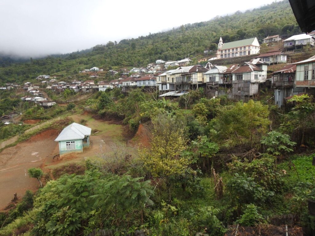
HRIANGHMUN
Home > STI Needs on Spatial Domain > HRIANGHMUN
Hrianghmun is in the north-eastern part of Mizoram at a coordinate of latitude 23.97147°N, 93.293717°E longitude. Hrianghmun is a small village close to the Myanmar border line with a population of 708 and 126 houses. The major livelihood is based on farming, more than half of the families are engaged in WRC along the banks of Tuisa river in the border line of myanmar. The crops grown include paddy, ginger, chillies, and sesame seeds. There is a large area of land (approximately 50 acres) that have potential for WRC but not utilised due to lack of irrigation facility. The constraints to agricultural activities include lack of transportation, seasonal access to agricultural fields, destruction of crops by animals such as monkeys, boar and grazing animals, lack of post-harvest processing or storage facility and poor market chain.

